By
Last week, the San Francisco Board of Supervisors ruled against four California Environmental Quality Act (CEQA) appeals that have been delaying Slow Streets, temporary emergency transit-only lanes, bike lanes and emergency street closures. Within 12 hours of the Board’s decision, SFMTA crews were back out in full force to implement these critical initiatives that help keep San Francisco moving during the pandemic.
The Board of Supervisors ruled unanimously that these temporary projects are deemed critical to the city’s emergency response efforts, preventing a further delay.
Implementation of new Slow Streets was put on hold while we waited for the appeals hearings, giving crews the opportunity to focus on filling in the signage gaps and repairing existing Slow Streets to improve the network.
Now, crews are bringing you more Slow Streets to connect our city. These improvements are needed to move about in these unusual times. The Slow Streets are welcoming, accessible, and allow for physical distance for people who want to travel on foot, bicycle, wheelchair, scooter, skateboard, or other forms of micro-mobility in San Francisco. Slow Streets attract users of the full array of neighborhood demographics—including children, older adults, people with disabilities and people of color.
After the hearing, new Slow Streets were installed on Clay and Noe streets and Pacific and Tompkins avenues, bringing the current total to 20 Slow Streets corridors and 38 miles of Slow Streets:
- 20th Avenue from Lincoln Boulevard to Ortega Street
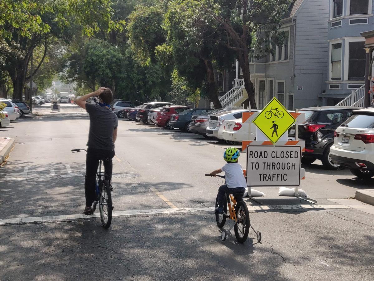
- 20th Street from Valencia Street to Potrero Avenue
- 23rd Avenue from Lake to Cabrillo streets
- 41st Avenue from Lincoln Way to Vicente Street
- Clay Street from Arguello Boulevard to Steiner Street (New)
- Chenery Street from Burnside Avenue to Lippard Avenue
- Excelsior Avenue from London to Munich streets
- Golden Gate Avenue from Masonic Avenue to Broderick Street
- Kirkham Street from 7th Ave to Great Highway
- Lake Street from 28th to Second avenues
- Lombard between Mason and Powell streets
- Mariposa Street from Kansas to Texas streets
- Noe Street from 18th to Duboce streets (New)
- Ortega Street from 47th to 15th avenues
- Pacific Avenue from Steiner to Gough streets (New)
- Page Street from Stanyan to Gough streets
- Sanchez Street from 23rd to 30th streets
- Shotwell Street from Cesar Chavez to 14th Street
- Somerset Street from Silver Avenue to Woolsey Street
- Tompkins Avenue from Andover to Putnam streets (New)
Plans are underway to continue expanding the Slow Streets network, with new Slow Streets scheduled for implementation this week on 20th Street between San Bruno and Pennsylvania avenues, Arkansas between 23rd and 17th streets, Duncan between Guerrero and Sanchez streets, and Minnesota between Mariposa and 22nd streets. The full network of approved Slow Streets is expected to be built out by the end of October. Implementation of the additional Slow Streets corridors is currently being planned with input from neighborhoods, community groups, and elected officials.
We’re also always taking suggestions for new Slow Streets. Want to suggest a street for Slow Streets Phase 4? Good candidates for Slow Streets are lower-traffic residential streets, without large hills, connecting neighbors to essential services in the absence of Muni service. Suggested corridors will be screened for feasibility and access conflicts, and we aim to create Slow Streets throughout the city. Please take our survey and help us plan out Phase Four.
Slow Streets are for essential trips, not neighborhood gathering points. As required by the public health ordinance, everyone should bring their required face covering and maintain proper physical distance from people outside their households. To make sure Slow Streets are being used properly, staff are continuously monitoring this program for its effectiveness.
For updates and additional information on the SFMTA’s Slow Street Program, visit the program webpage at SFMTA.com/SlowStreets. Please also visit our website for the latest agency updates about our COVID-19 response.
Published October 06, 2020 at 05:47AM
https://ift.tt/3ddMcxj
Comments
Post a Comment