
Traffic Collisions have Decreased on San Francisco’s Slow Streets

Traffic Collisions have Decreased on San Francisco’s Slow Streets
By Julia Malmo

 Close up image of a street sign with the words "Slow Streets." Under white figurine wheel users and pedestrians are seen. There is a bicyclist in the background

As a whole, Slow Streets are safer than they were before being designated Slow Streets 

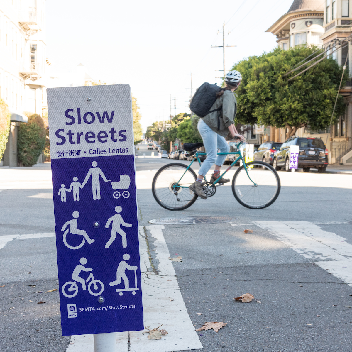
Streets that are part of the SFMTA’s Slow Streets Program have become measurably safer since the program began in 2020, with the number of traffic crashes falling by almost half. On average, these corridors have seen a 48% drop in collisions following their designation as Slow Streets, compared with a 14% drop in collisions citywide over the same period. Slow Streets also are more welcoming for people who walk, bike and roll. Fewer than 1,000 vehicles per day use all but four of the current Slow Streets (20th Street, Minnesota Street, Noe Street, and Page Street). 

The goal of the program is to create safe, shared streets that are comfortable and enjoyable for people of all ages and abilities, using any mode of transportation. We now can see how it’s doing in a new evaluation report.

When the SFMTA Board approved the permanent Slow Streets Program in December 2022, the Directors required that every Slow Street meet certain safety and comfort targets: average vehicle speeds of less than 15 miles per hour (MPH) and average daily vehicle volumes lower than 1,000. The Slow Streets team has been collecting between January 2023 and April 2023 to understand how the streets are performing. We placed pneumatic tubes every four blocks along Slow Street corridors in January of this year to collect vehicle volume and speed from 16 of the 18 streets currently in the program (Cayuga Avenue and 22nd Street were not included in the analysis because they are not yet implemented).  

Not only is traffic volume down, but all the Slow Streets have median speeds of 20 MPH or slower. However, most have not met the 15 MPH target set by the Board. This means that traffic still is not moving slowly enough for our most vulnerable road users to feel safe. 

 The Slow Streets team will begin working on these changes now with updated designs expected by this summer. 

Here is the 2023 Slow Streets Design Toolkit  (SFMTA.com/SlowStreetsToolkit) including details on the methodology used in the evaluation, along with individual corridor findings. To learn more about next steps, Signup for Email and SMS Alerts from the Slow Streets Program (SFMTA.com/SlowStreets) and individual corridors. We look forward to sharing more about how this data will inform next steps for Slow Streets designs across San Francisco! 


Published May 03, 2023 at 12:03AM
https://ift.tt/XZv6ory

Comments

Popular posts from this blog

150 Years Ago Today – The Cable Car is Born

150 Years Ago Today – The Cable Car is Born By Kelley Trahan August 2, 2023, marks the 150th anniversary of the world’s first successful cable railway, born right here in San Francisco. To celebrate the occasion, we bring you the story of Andrew Hallidie and the very first cable car company, the Clay Street Hill Railroad.  Andrew Hallidie (1834-1900) was a pioneering inventor and entrepreneur who changed urban transportation. In 1852, at the age of 18, Hallidie emigrated with his father from the United Kingdom to San Francisco during the California Gold Rush. His father, an engineer and inventor, had a wire rope patent that played a crucial role in his son's future success.   Portrait of Andrew Smith Hallidie in 1890. Inspired by his father's wire rope business, Hallidie developed a steel cable mineral mine hauling system in 1857. About a decade later, he designed a wire rope aerial tramway for transporting materials over mountainous terrain. Then, after a stint in bridg...

Shared Spaces are Here to Stay. Permit Renewals are Due January 15, 2023.

Shared Spaces are Here to Stay. Permit Renewals are Due January 15, 2023. By Anne Yalon Shared Spaces, amongst many other benefits, allows our residents and families to enjoy safe and social outdoor dining. Seen here are the the owners of Tio Chilo’s Grill and their children in the restaurant’s parklet on 24th Street in the Mission.  San Francisco’s popular Shared Spaces program allows merchants, restaurants and arts and culture organizations to use the curbside, sidewalk and other public spaces to conduct local business activities and stay afloat. What emerged as an economic lifeline during the pandemic is making San Francisco’s streets more energized, engaged and activated. Many of the Shared Spaces parklets have become central gathering places for the local community. “ Our parklet makes me feel like when I go to Mexico, where outdoor seating is everywhere. People end up joining their friends in our parklet. It is a space for our customers and our community," said Liz V...

Tenderloin Streets Transform During COVID-19

Tenderloin Streets Transform During COVID-19 By Kimberly Leung COVID-19 has disproportionately impacted people who live and work in the Tenderloin. As a result, the SFMTA has been working closely with District 6 Supervisor Matt Haney’s office, other city departments, the Tenderloin Traffic Safety Task Force and community members to address the public health issues and unique challenges in the neighborhood through innovative interventions.    The Tenderloin is home to many of our most vulnerable communities including historically marginalized groups such as people with disabilities, residents of SROs and supportive housing and limited-English proficient communities. With every single street in the Tenderloin on the city’s High Injury Network -- the 13 percent of San Francisco streets that account for 75 percent of severe traffic injury collision and fatalities -- thi...